HOTLunch
In 2017, I became inspired to create a recurring volunteer opportunity for people who want to support natural disaster and humanitarian crisis response. The series of connected remote events enabled volunteers to donate their lunch break to map buildings, roads, and other features that NGOs use to plan aid efforts.
The monthly events organized contributions to Humanitarian OpenStreetMap Team (HOT), so I coined the name “HOTLunch”.
Organizing an international volunteer opportunity
The idea for HOTLunch expanded on the Mapathon, which is a well-established event format created by HOT where volunteers gather to simultaneously edit a global map. After running a large-scale Philly Mapathon during Philly Tech Week in 2017, I was inspired to contribute to the cause that joins mapping technology and international aid planning on a regular basis.
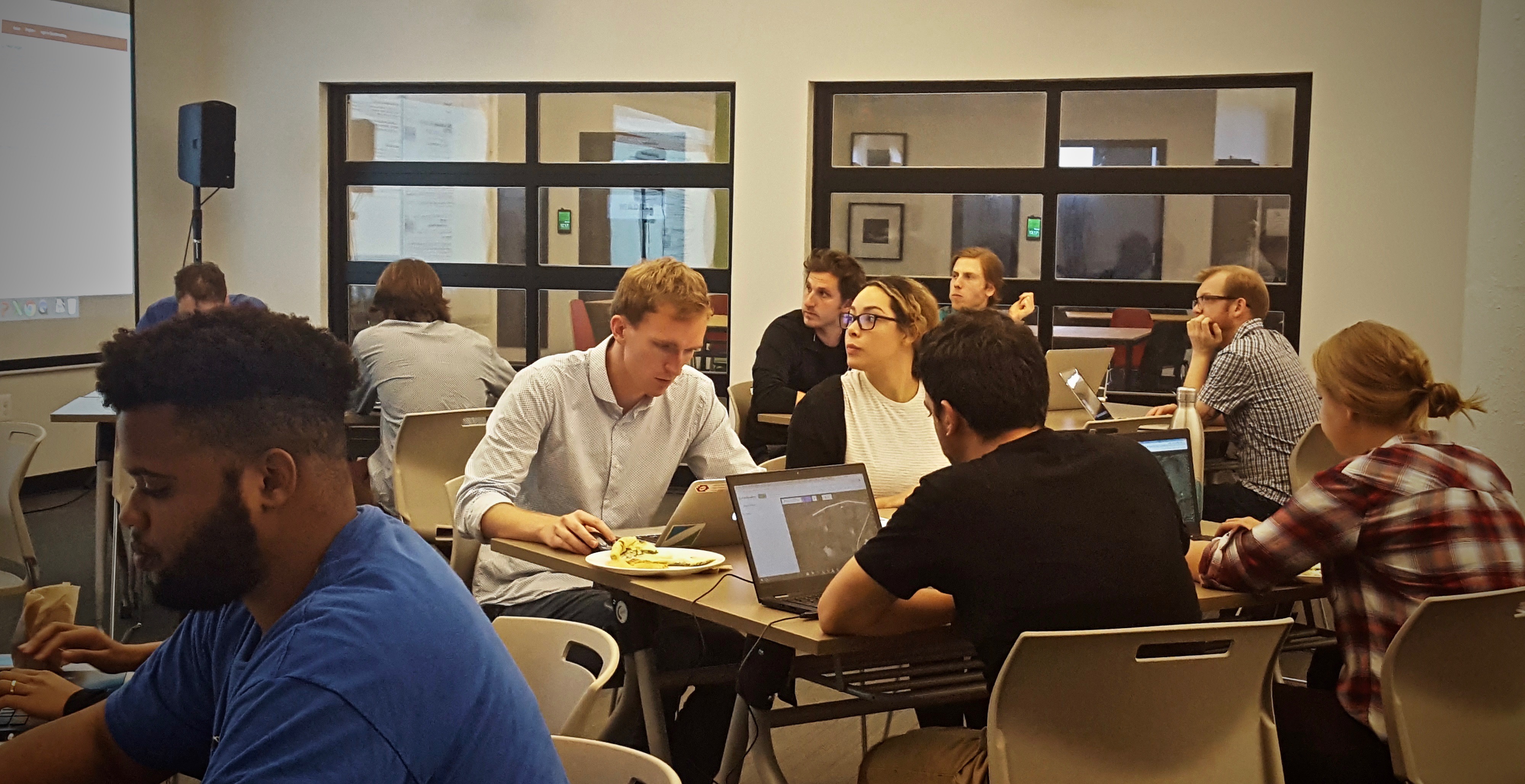
We hosted the first HOTLunch in fall of 2017, and by the second event, groups from several countries participated during their lunch break.
Background
When a major natural disaster occurs, news coverage often includes messaging like: “The Red Cross has mobilized resources in the impacted area, providing housing and food for 10,000 people.”
Have you ever wonder how these relief organizations know where to send aid and for how many people?
Well, many of the organizations that respond to these sorts of events utilize OpenStreetMap, a free map of the world, to plan their efforts. If an organization counts 2,500 buildings on the map and estimates 4 people per building, they can plan to serve 10,000 people.
Events like HOTLunch provide people with the opportunity to add features to OpenStreetMap to enable organizations to plan aid efforts.
How do I volunteer?
Gather in a break room, community space, or you can even just sit at your desk and remotely join other volunteers. You can find a focus task for each HOTLunch on Twitter (#HOTLunch). Log in to your OpenStreetMap account, choose the task in the HOT Tasking Manager, then trace buildings, roads, waterways, or other features on satellite imagery.
Follow this 4-step guide to participate in HOTLunch.
Here's what adding a building to the map in #PuertoRico looks like. Sign on to @hotosm to contribute to @redcross relief efforts. #HOTLunch pic.twitter.com/xzEYI1FqzS
— Dan Ford (@DanJFord) September 29, 2017
Custom guides
Humanitarian OpenStreetMap Team maintains several resources for learning how to contribute to projects. They created a table top guide under their Missing Maps program, which breaks down the steps you need to follow to start mapping.
I redesigned this guide to include additional tips and details related to the updated Tasking Manager based on feedback from event participants.
Two versions of the one-page guide are available:
-
A guide for general Humanitarian OpenStreetMap Team Missing Maps Mapathons
-
A guide for HOTLunch events
I provided the guides as an Adobe Illustrator file and PDF, so future organizers can edit the guide or just print the PDF.
You can find the guides here: github.com/danford1/mapathon-resources
Learn more
To read even more about this opportunity that continues on the last Wednesday of every month, check out my original blog post.